OS Landranger / St Andrews & Kirkaldy
Ordnance Survey Landranger maps use a 1:50,000 scale to cover wide areas (40km by 40km) with a high level of detail.
With a map for every part of Great Britain and its surrounding isles, Landrangers are perfect for planning holidays, backpacking trips and bike rides. “What’s that perfectly circular trail over there? Oh… that’s a tea ring…”
Route planning is made easy with rights of way markers for footpaths, bridleways and byways, plus symbols for campsites, youth hostels and other services. And full topographic mapping allows you to orientate yourself within the landscape.
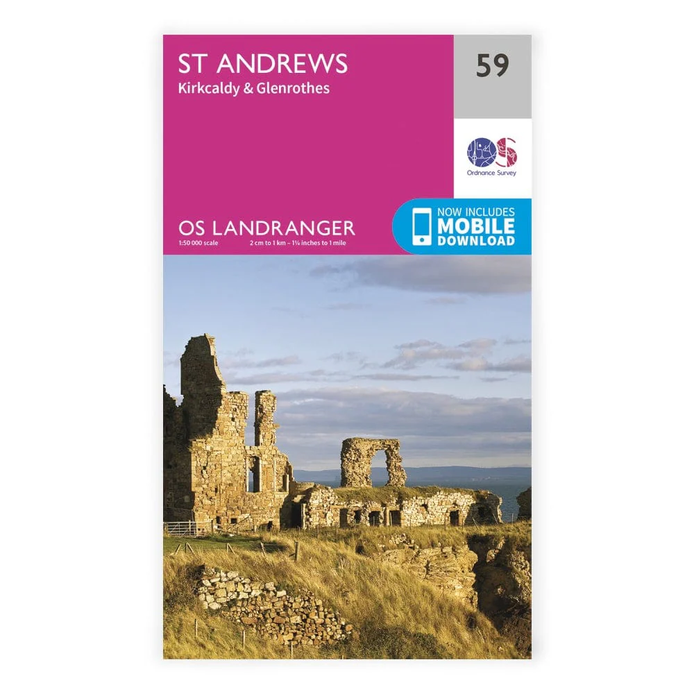
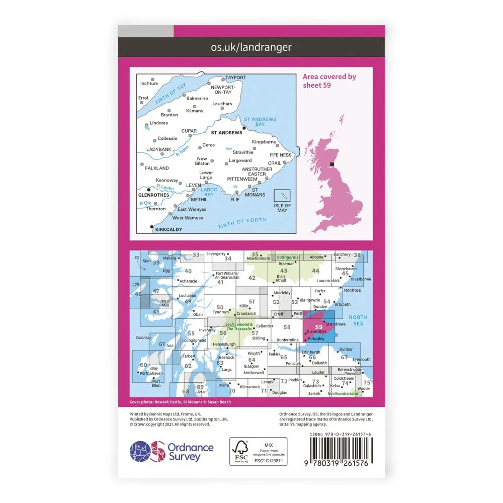
Landranger 59 covers east Fife and the coastline from the Firth of Tay to the Firth of Forth.
Product Information
Product Information
Shipping & Returns
Shipping & Returns
OS Landranger / St Andrews & Kirkaldy
OS Landranger / St Andrews & Kirkaldy
Ordnance Survey Landranger maps use a 1:50,000 scale to cover wide areas (40km by 40km) with a high level of detail.
With a map for every part of Great Britain and its surrounding isles, Landrangers are perfect for planning holidays, backpacking trips and bike rides. “What’s that perfectly circular trail over there? Oh… that’s a tea ring…”
Route planning is made easy with rights of way markers for footpaths, bridleways and byways, plus symbols for campsites, youth hostels and other services. And full topographic mapping allows you to orientate yourself within the landscape.
Landranger 59 covers east Fife and the coastline from the Firth of Tay to the Firth of Forth.
Product Information
Product Information
Shipping & Returns
Shipping & Returns
Description
Ordnance Survey Landranger maps use a 1:50,000 scale to cover wide areas (40km by 40km) with a high level of detail.
With a map for every part of Great Britain and its surrounding isles, Landrangers are perfect for planning holidays, backpacking trips and bike rides. “What’s that perfectly circular trail over there? Oh… that’s a tea ring…”
Route planning is made easy with rights of way markers for footpaths, bridleways and byways, plus symbols for campsites, youth hostels and other services. And full topographic mapping allows you to orientate yourself within the landscape.
Landranger 59 covers east Fife and the coastline from the Firth of Tay to the Firth of Forth.